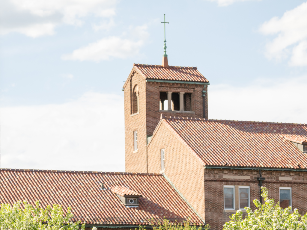
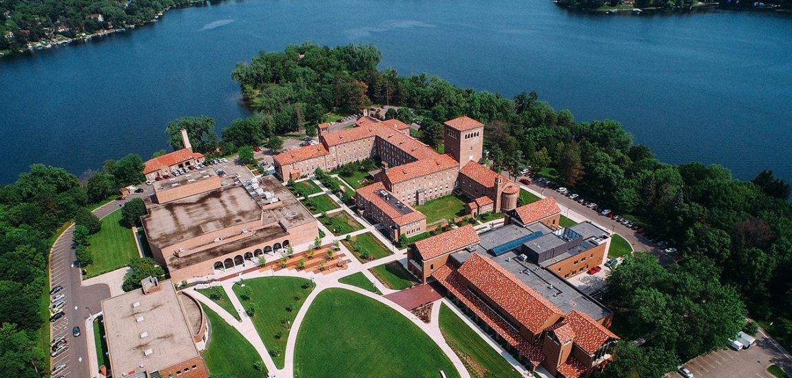
Island Chapel Location
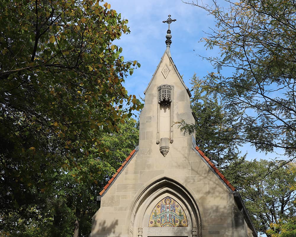
The landscaping of the island was carried out by Morell and Nichols Inc. (Morell died in 1924, so Nichols was the responsible designer.) Nichols devised a more informal approach to the island landscape. The area around the island chapel was cleared and a curving path was planned that led from the bridge to the northwest and up the slope to the island chapel entrance. Elements of this path still exist in the form of granite steps and limestone flagstones that follow the original curving form.
Directions
From the north:
Follow I-35E South to Hwy. 36 West. Exit onto Snelling Ave North to the third stop light, Lydia Ave, and turn left.
From the south:
Follow I-35W North to Hwy 36 East. Exit onto Snelling Ave North to the third stop light, Lydia Ave, and turn left.
From the east:
Follow Hwy 36 West to Snelling Ave North. At the third stop light, Lydia Ave, turn left.
From the west/northwest:
Follow I-494/I-694 East to Snelling Ave and exit South. At the first stop light, Lydia Ave, turn right.
From the airport by car:
Follow I-494 west to I-35W north to Hwy 36 east. Exit on Snelling Ave north. Turn left at the third stoplight, Lydia Ave.
Parking
The nearest parking is the Lakefront Parking (Lot F) with additional parking in the Ridge Parking (Lot I) lot.
Related Content